Home > North America > United States of America > Maps
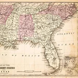
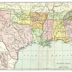
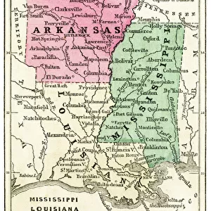
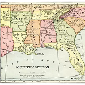
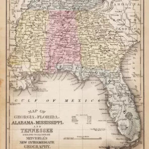
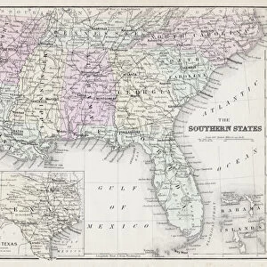
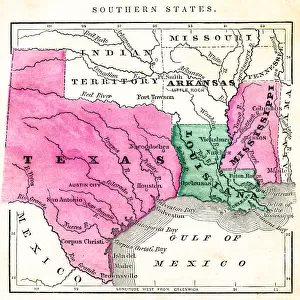
USA southern states map 1898

![]()
Wall Art and Photo Gifts from Fine Art Storehouse
USA southern states map 1898
Map from Physical Geography by R. S. Tarr - The MacMillan Company - London 1898
Unleash your creativity and transform your space into a visual masterpiece!
THEPALMER
Media ID 20773181
© A 2014 Roberto Adrian Photography
FEATURES IN THESE COLLECTIONS
> Fine Art Storehouse
> Map
> USA Maps
> USA Southern States Historical Maps
> Fine Art Storehouse
> Map
> USA Maps
> Maps and Charts
> Related Images
> North America
> United States of America
> Maps
EDITORS COMMENTS
This print showcases a remarkable piece of history, the "USA southern states map 1898". With its origins dating back to the late 19th century, this map is an exquisite representation of the American South during that era. The intricate details and precise cartography make it a true work of art. Taken from R. S. Tarr's renowned book "Physical Geography" published by The MacMillan Company in London in 1898, this map offers a glimpse into America's past. It serves as a visual time capsule, capturing the geographical boundaries and topographical features of the southern states at that specific moment in time. The craftsmanship evident in this print is exceptional; every contour and line meticulously preserved for posterity. As we study this historical artifact, we are transported back to an era when borders were different, cities were smaller, and transportation networks were still evolving. "The Palmer" has expertly captured not only the essence of this vintage treasure but also its significance within our collective heritage. This photograph allows us to appreciate both the beauty and educational value embedded within old maps like these. Whether you're an avid historian or simply captivated by antique cartography, this mesmerizing print will undoubtedly add depth and character to any space it graces. Let it serve as a reminder of how far we've come while honoring those who paved the way before us.
MADE IN THE USA
Safe Shipping with 30 Day Money Back Guarantee
FREE PERSONALISATION*
We are proud to offer a range of customisation features including Personalised Captions, Color Filters and Picture Zoom Tools
SECURE PAYMENTS
We happily accept a wide range of payment options so you can pay for the things you need in the way that is most convenient for you
* Options may vary by product and licensing agreement. Zoomed Pictures can be adjusted in the Cart.