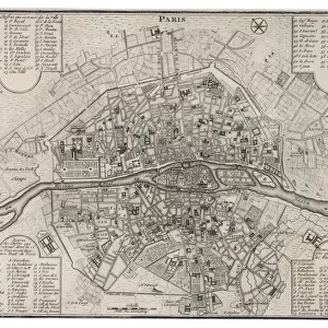
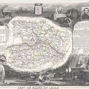
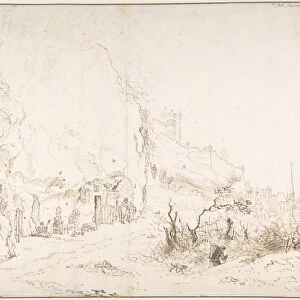
1852, Levasseur Map of the Department De La Somme, France, topography, cartography

![]()
Wall Art and Photo Gifts from Liszt Collection
1852, Levasseur Map of the Department De La Somme, France, topography, cartography
1852, Levasseur Map of the Department De La Somme, France
Liszt Collection of nineteenth-century engravings and images to browse and enjoy
Media ID 14005284
© Artokoloro Quint Lox Limited
1852 Antique Map Latitude Longitude Mappa Mundi Old Antique Plan Old Antique View Ols Antique Map Rare Old Maps Topo
EDITORS COMMENTS
This print showcases the exquisite 1852 Levasseur Map of the Department De La Somme, France. A true masterpiece in cartography, this topographical gem takes us on a journey through time and space. Its intricate details and precision offer an invaluable glimpse into the geography and history of this enchanting region. The map's vintage allure is evident in its aged paper texture, adding a touch of nostalgia to any space it graces. With its decorative elements and artistic flair, it effortlessly blends historical significance with aesthetic charm. This rare antique map serves as a testament to the artistry and craftsmanship that went into creating such intricate navigational tools centuries ago. As we explore every latitude and longitude meticulously charted on this ancient relic, we are transported back to an era where discovery and exploration were at their peak. The Levasseur Map invites us to immerse ourselves in the rich heritage of La Somme department while igniting our curiosity for the world beyond. Whether displayed in a study or adorning the walls of an avid traveler's home, this remarkable piece sparks conversations about both past journeys taken and future adventures yet to come. It serves as a reminder that maps not only guide our physical travels but also fuel our imagination by connecting us with different cultures, landscapes, and histories from around the globe.
MADE IN THE USA
Safe Shipping with 30 Day Money Back Guarantee
FREE PERSONALISATION*
We are proud to offer a range of customisation features including Personalised Captions, Color Filters and Picture Zoom Tools
SECURE PAYMENTS
We happily accept a wide range of payment options so you can pay for the things you need in the way that is most convenient for you
* Options may vary by product and licensing agreement. Zoomed Pictures can be adjusted in the Cart.