Home > Europe > United Kingdom > England > London > Boroughs > Camden
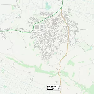
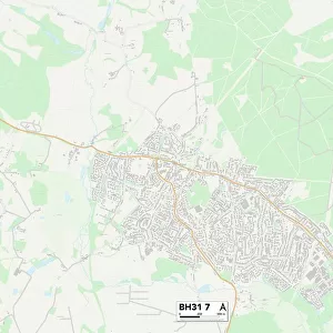
Bournemouth BH9 3 Map

![]()
Wall Art and Photo Gifts from Map Marketing
Bournemouth BH9 3 Map
Postcode Sector Map of Bournemouth BH9 3
Media ID 19965482
Beatty Road Bournemouth Bradford Road Brockenhurst Road Camden Close Charlton Close Charnwood Avenue Claremont Avenue Claremont Road Cobham Road Court Road Derwent Close Easter Road Forest View Road Franklin Road Granby Road Hillcrest Close Hillcrest Road Horton Close Lawford Road Malvern Close Malvern Road Moreton Road Nursery Road Oakwood Close Oakwood Road Red Hill Rose Gardens Ruskin Avenue Sandford Close Sandringham Close Sandringham Gardens Strathmore Road Stratton Road Sussex Close Tynedale Close Webster Road West Way Winston Road
FEATURES IN THESE COLLECTIONS
> Arts
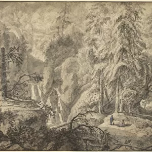
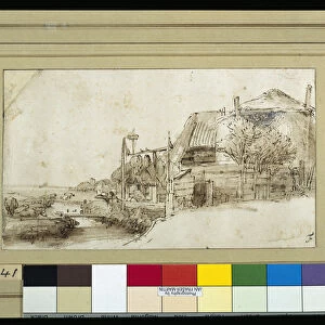
> Landscape paintings
> Forest and woodland scenes
> Forest artwork
> Europe
> United Kingdom
> England
> London
> Boroughs
> Camden
> Europe
> United Kingdom
> England
> Sussex
> Charlton
> Europe
> United Kingdom
> England
> Sussex
> Related Images
> Europe
> United Kingdom
> England
> West Sussex
> Related Images
> Map Marketing
> Postcode Sector Maps
> BH - Bournemouth
> Maps and Charts
> Related Images
MADE IN THE USA
Safe Shipping with 30 Day Money Back Guarantee
FREE PERSONALISATION*
We are proud to offer a range of customisation features including Personalised Captions, Color Filters and Picture Zoom Tools
SECURE PAYMENTS
We happily accept a wide range of payment options so you can pay for the things you need in the way that is most convenient for you
* Options may vary by product and licensing agreement. Zoomed Pictures can be adjusted in the Cart.