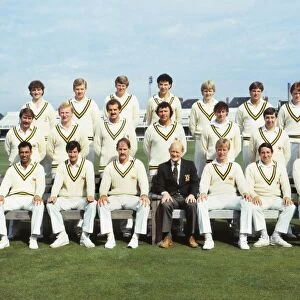
Home > Arts > Artists > B > John Brown
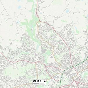
Rossendale OL13 8 Map

![]()
Wall Art and Photo Gifts from Map Marketing
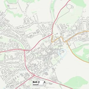
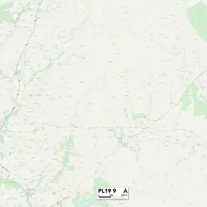
Rossendale OL13 8 Map
Postcode Sector Map of Rossendale OL13 8
Media ID 19976192
A671 Abbey Street Acorn Street Albert Terrace Alder Street Ash Street Ashworth Street Baker Street Bankside Close Beaufort Road Birch Street Blackthorn Lane Boston Road Brown Street Burnley Road Church Gardens Coniston Way Cooper Street Daisy Bank Dale Street East View Farm Avenue Fell View Fern Street Gordon Street Green Bank Greenwood Drive Hall Street Harcourt Street Highfield Hill Crest Hillside Crescent Holmes Lane Hope Street Laurel Street Lily Street Mill Street Osborne Terrace Plane Street Princess Street Richard Street Riley Street Rochester Close Rossendale Russell Street Shepherd Street St John Street St Johns Court Stanley Street The Moorlands Weir Lane Wesley Place Woodland Avenue Woodland Terrace Woodland View Wright Street York Street Bacup Weir
FEATURES IN THESE COLLECTIONS
> Arts
> Artists
> B
> John Brown
> Arts
> Artists
> C
> Richard Cooper
> Arts
> Artists
> G
> John Greenwood
> Arts
> Artists
> H
> John Hillers
> Arts
> Artists
> H
> John Hills
> Arts
> Artists
> H
> Richard Halls
> Arts
> Artists
> R
> John Riley
> Arts
> Artists
> R
> John Russell
> Arts
> Artists
> W
> Richard Wright
> Europe
> United Kingdom
> England
> London
> Boroughs
> Harrow
> Map Marketing
> Postcode Sector Maps
> OL - Oldham
MADE IN THE USA
Safe Shipping with 30 Day Money Back Guarantee
FREE PERSONALISATION*
We are proud to offer a range of customisation features including Personalised Captions, Color Filters and Picture Zoom Tools
SECURE PAYMENTS
We happily accept a wide range of payment options so you can pay for the things you need in the way that is most convenient for you
* Options may vary by product and licensing agreement. Zoomed Pictures can be adjusted in the Cart.