
Wall Art and Photo Gifts from Mary Evans Picture Library
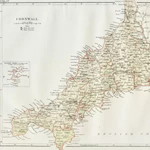
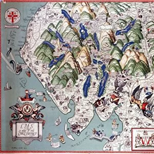
Map / Cornwall C1857
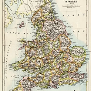
Map of Cornwall Date: circa 1857
Mary Evans Picture Library makes available wonderful images created for people to enjoy over the centuries
Media ID 14291483
© Mary Evans Picture Library
1857
C1857
Maps
FEATURES IN THESE COLLECTIONS
> Europe
> United Kingdom
> England
> Cornwall
> Related Images
> Europe
> United Kingdom
> England
> Maps
> Europe
> United Kingdom
> England
> Posters
> Europe
> United Kingdom
> England
> Related Images
> Maps and Charts
> Early Maps
> Maps and Charts
> Related Images
MADE IN THE USA
Safe Shipping with 30 Day Money Back Guarantee
FREE PERSONALISATION*
We are proud to offer a range of customisation features including Personalised Captions, Color Filters and Picture Zoom Tools
SECURE PAYMENTS
We happily accept a wide range of payment options so you can pay for the things you need in the way that is most convenient for you
* Options may vary by product and licensing agreement. Zoomed Pictures can be adjusted in the Cart.
redeem
Beautiful Photo Prints and Gifts
image
Professionally Printed
inventory
Photo Prints are in stock
thumb_up
Professional quality finish
diamond
Made with high-grade materials
inventory_2
Carefully packed to aid safe arrival
Related Images
Cornwall map 1884
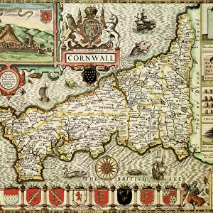
Cornwall Historical John Speed 1610 Map
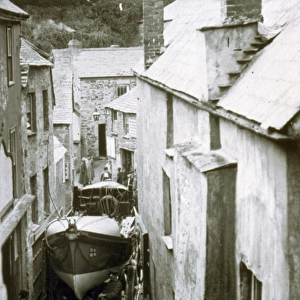
Port Isaac lifeboat Richard and Sarah
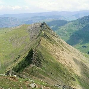
Striding Edge, Helvellyn, Lake District National Park, Cumbria, England
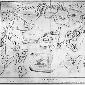
Engraved map of Charlestown (now part of Boston), Massachusetts, marking rebels redoubts and works, 28 November 1775
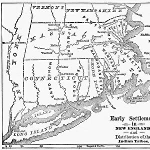
MAP: NEW ENGLAND COLONIES. Early settlements in New England and distribution of
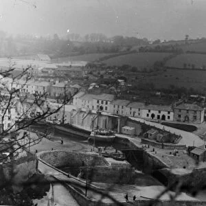
Charlestown harbour, Cornwall. Early 1900s
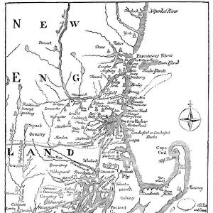
Vintage Map of New England
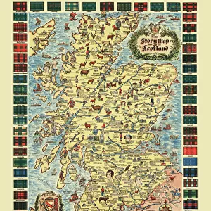
Pictorial Story Map of Scotland
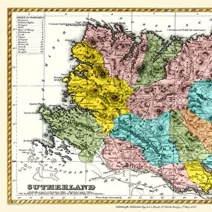
Old County Map of Sutherland Scotland 1847 by A&C Black
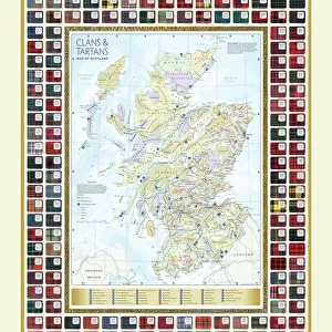
Map of the Clans and Tartans of Scotland
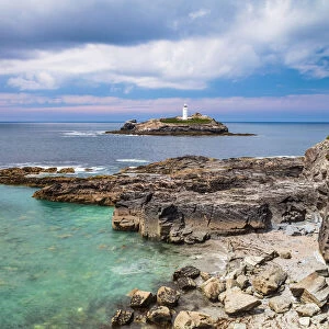
Godrevy Lighthouse, North Cornwall, Cornwall, England, UK
Related Collections
Early Maps
Browse 24,658 Prints
England Related Images
Browse 44,879 Prints
Maps and Charts Related Images
Browse 46,916 Prints
Cornwall Related Images
Browse 9,710 Prints
Maps
Browse 9,941 Prints

Posters
Browse 44,542 Prints

