Home > Maps and Charts > Related Images
Leicester LE5 5 Map

![]()
Wall Art and Photo Gifts from Map Marketing
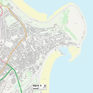
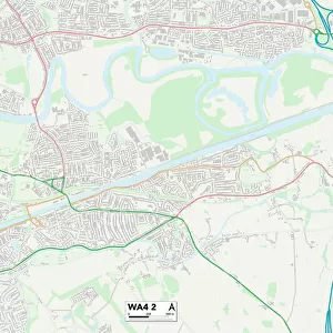
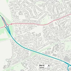
Leicester LE5 5 Map
Postcode Sector Map of Leicester LE5 5
Media ID 19973400
Allandale Road Ashover Road Baden Road Baslow Road Bradfield Close Broadway Road Brookside Buckfast Close Chesterfield Road Colebrook Close Cork Street Dorothy Road East Park Road Fairfield Street Francis Street Hazelwood Road Hollington Road Holmfield Avenue Hoylake Close Kedleston Road Leicester Marina Road Mayflower Road Mere Road Mervyn Road Moat Road Nansen Road New Close Normanton Road Norwood Road Osborne Road Roundhill Road Shipley Road Southview Drive St Philips Road Stanhope Street Staveley Road The Approach Worthington Street
FEATURES IN THESE COLLECTIONS
> Map Marketing
> Postcode Sector Maps
> LE - Leicester
> Maps and Charts
> Related Images
MADE IN THE USA
Safe Shipping with 30 Day Money Back Guarantee
FREE PERSONALISATION*
We are proud to offer a range of customisation features including Personalised Captions, Color Filters and Picture Zoom Tools
SECURE PAYMENTS
We happily accept a wide range of payment options so you can pay for the things you need in the way that is most convenient for you
* Options may vary by product and licensing agreement. Zoomed Pictures can be adjusted in the Cart.