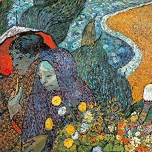
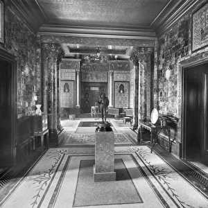
Home > Europe > United Kingdom > England > London > Sights > Holland Park
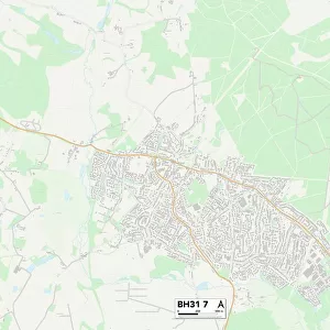
Poole BH18 9 Map

![]()
Wall Art and Photo Gifts from Map Marketing
Poole BH18 9 Map
Postcode Sector Map of Poole BH18 9
Media ID 19965546
Abbotsbury Road Ascot Road Beacon Road Beacon Way Beech Close Birkdale Road Brookdale Close Bryony Close Clarendon Close Clarendon Road Cotton Close Dell Close Fairview Crescent Fairview Road Holland Way Lancaster Close Lancaster Drive Lavender Way Mallow Close Maxwell Road Meadow Rise Poole Roman Road Silverdale Close Spindle Close Springdale Road St Andrews Road Stonecrop Close Sutherland Avenue The Close West Way High Way
FEATURES IN THESE COLLECTIONS
> Arts
> Artists
> R
> Roman Roman
> Europe
> United Kingdom
> England
> London
> Sights
> Holland Park
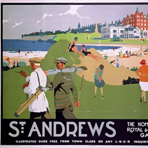
> Europe
> United Kingdom
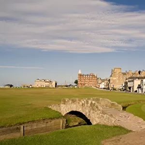
> Scotland
> Fife
> St Andrews
> Europe
> United Kingdom
> Scotland
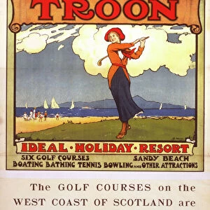
> Strathclyde
> Troon
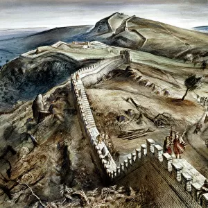
> Europe
> United Kingdom
> Scotland
> Sutherland
> Europe
> United Kingdom
> Wales
> South Glamorgan
> Barry
> Map Marketing
> Postcode Sector Maps
> BH - Bournemouth
> Maps and Charts
> Related Images
MADE IN THE USA
Safe Shipping with 30 Day Money Back Guarantee
FREE PERSONALISATION*
We are proud to offer a range of customisation features including Personalised Captions, Color Filters and Picture Zoom Tools
SECURE PAYMENTS
We happily accept a wide range of payment options so you can pay for the things you need in the way that is most convenient for you
* Options may vary by product and licensing agreement. Zoomed Pictures can be adjusted in the Cart.