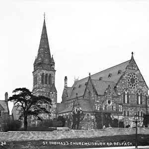
Home > Europe > United Kingdom > Northern Ireland > County Antrim > Lisburn
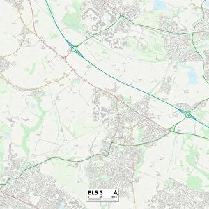
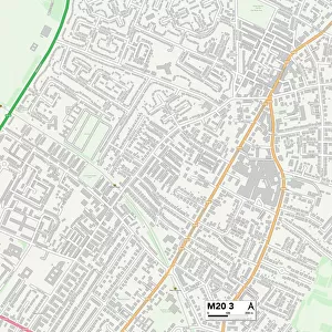
Trafford M33 7 Map

![]()
Wall Art and Photo Gifts from Map Marketing
Trafford M33 7 Map
Postcode Sector Map of Trafford M33 7
Media ID 19974210
Ashfield Road Belgrave Road Booth Road Bridgewater Street Brindley Avenue Chapel Road Claremont Road Cross Street Curzon Road Dalton Street Danefield Road Denmark Road Dudley Road Eaton Road Egerton Drive Elm Grove Florence Street Friars Road Hampden Road Harley Road Hereford Street Holly Drive John Street Leicester Road Linley Road Linton Road Manor Road Meadows Road Oaklands Drive Orchard Place Palmer Street School Road Sefton Road Simons Close Springfield Road St Davids Close St James Drive Trafalgar Road Trafford Waterside Waverley Road Wellington Close Wilson Street Wolseley Road Sale Urban Road
FEATURES IN THESE COLLECTIONS
> Arts
> Artists
> J
> David James
> Arts
> Artists
> S
> James Simon
> Arts
> Artists
> W
> Wilson Wilson
> Europe
> Denmark
> Related Images
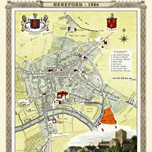
> Europe
> United Kingdom
> England
> Herefordshire
> Maps
> Europe
> United Kingdom
> Northern Ireland
> County Antrim
> Lisburn
> Europe
> United Kingdom
> Northern Ireland
> County Down
> Lisburn
> Europe
> United Kingdom
> Wales
> Pembrokeshire
> St Davids
> Map Marketing
> Postcode Sector Maps
> M - Manchester
MADE IN THE USA
Safe Shipping with 30 Day Money Back Guarantee
FREE PERSONALISATION*
We are proud to offer a range of customisation features including Personalised Captions, Color Filters and Picture Zoom Tools
SECURE PAYMENTS
We happily accept a wide range of payment options so you can pay for the things you need in the way that is most convenient for you
* Options may vary by product and licensing agreement. Zoomed Pictures can be adjusted in the Cart.