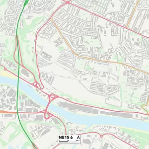
Home > Europe > United Kingdom > England > London > Boroughs > Hillingdon
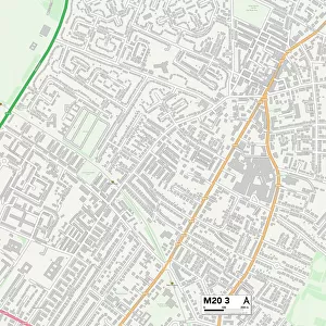
Trafford M32 8 Map

![]()
Wall Art and Photo Gifts from Map Marketing
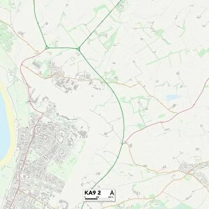
Trafford M32 8 Map
Postcode Sector Map of Trafford M32 8
Media ID 19974202
Alder Grove Alston Avenue Barton Road Beech Avenue Bennett Street Bradshaw Lane Brunswick Street Cooper Street Cromwell Road Dorset Street Edge Lane Elizabeth Close Granby Road Green Street Grosvenor Street Hawthorn Road Highfield Close Highfield Road Hillingdon Road Jackson Street Kenwood Road Kings Grove Kings Lane Kings Terrace Kingsway Larch Avenue Leyburn Avenue Lime Road Longford Avenue Lyndhurst Road Maple Avenue Marston Road Meadow Close Melville Road Moreton Avenue Nelson Street Newton Street Norwood Road Park Road Radnor Street Raglan Road School Road Sydney Street Trafford Truro Avenue Vernon Avenue Victoria Road Wansbeck Close Hancock Street Stretford Vine Court
FEATURES IN THESE COLLECTIONS
> Europe
> United Kingdom
> England
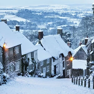
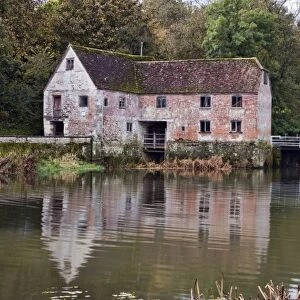
> Dorset
> Grove
> Europe
> United Kingdom
> England
> Dorset
> Moreton
> Europe
> United Kingdom
> England
> Dorset
> Newton
> Europe
> United Kingdom
> England
> Dorset
> Related Images
> Europe
> United Kingdom
> England
> London
> Boroughs
> Hillingdon
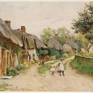
> Europe
> United Kingdom
> England
> London
> Sights
> Victoria Park
> Europe
> United Kingdom
> Northern Ireland
> County Antrim
> Larne
> Map Marketing
> Postcode Sector Maps
> M - Manchester
> Maps and Charts
> Related Images
MADE IN THE USA
Safe Shipping with 30 Day Money Back Guarantee
FREE PERSONALISATION*
We are proud to offer a range of customisation features including Personalised Captions, Color Filters and Picture Zoom Tools
SECURE PAYMENTS
We happily accept a wide range of payment options so you can pay for the things you need in the way that is most convenient for you
* Options may vary by product and licensing agreement. Zoomed Pictures can be adjusted in the Cart.