
Wall Art and Photo Gifts from Mary Evans Picture Library
Maps / New Zealand
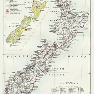
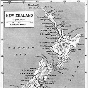
A map of New Zealand Date: 1908
Mary Evans Picture Library makes available wonderful images created for people to enjoy over the centuries
Media ID 7148349
© Mary Evans Picture Library 2015 - https://copyrighthub.org/s0/hub1/creation/maryevans/MaryEvansPictureID/10149914
Maps
Pacific
Tasman
Zealand
FEATURES IN THESE COLLECTIONS
> Arts
> Artists
> T
> Tasman
> Maps and Charts
> Related Images
> Oceania
> New Zealand
> Maps
> Oceania
> New Zealand
> Related Images
> Popular Themes
> North Island
MADE IN THE USA
Safe Shipping with 30 Day Money Back Guarantee
FREE PERSONALISATION*
We are proud to offer a range of customisation features including Personalised Captions, Color Filters and Picture Zoom Tools
SECURE PAYMENTS
We happily accept a wide range of payment options so you can pay for the things you need in the way that is most convenient for you
* Options may vary by product and licensing agreement. Zoomed Pictures can be adjusted in the Cart.
redeem
Beautiful Photo Prints and Gifts
image
Professionally Printed
inventory
Photo Prints are in stock
thumb_up
Professional quality finish
diamond
Made with high-grade materials
inventory_2
Carefully packed to aid safe arrival
Related Images
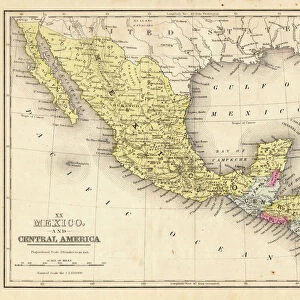
Mexico and Central America map 1867
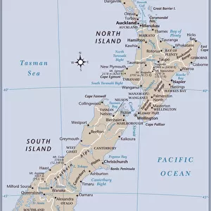
New Zealand country map
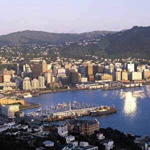
City Skyline & Harbour, Wellington, North Island, New Zealand
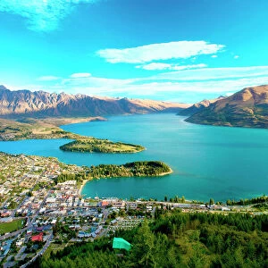
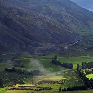
New Zealand, South Island, View towards Queenstown and Wakatipu Lake with the Formidable

View from Larnach Castle over the Otago Peninsula, South Island, New Zealand, Pacific
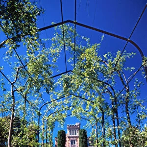
Larnach Castle, Dunedin
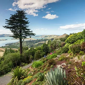
New Zealand, South Island, Otago, Otago Peninsula, Dunedin-area, Larnach Castle Gardens
New Zealand, South Island, Otago
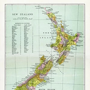
Antique Map of New Zealand
New Zealand map 1884
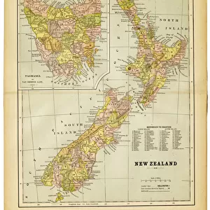
map of new zealand 1883
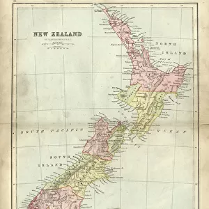
Antique map of New Zealand in the 19th Century, 1873
Related Collections

North Island
Browse 9,027 Prints
New Zealand Related Images
Browse 9,180 Prints
Maps
Browse 232 Prints
Tasman
Browse 583 Prints

Maps and Charts Related Images
Browse 46,659 Prints

