Home > Animals > Mammals > Delphinidae > Australis
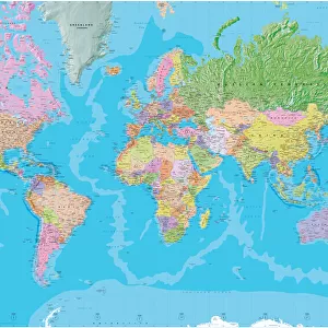
16th century world map

![]()
Wall Art and Photo Gifts from Science Photo Library
16th century world map
16th century world map made by Pierre Desceliers in 1546 on a commission by King Francis I for Henri II of France. Most noticeable is that the Northern hemisphere is upside-down. The distorted nature of much of the world excluding Europe is due to the lack of accurate mapping. A large continent at bottom, Terra Australis, represents the unknown areas, which were later found to be Australia, New Zealand and Antarctica
Science Photo Library features Science and Medical images including photos and illustrations
Media ID 6348261
© SHEILA TERRY/SCIENCE PHOTO LIBRARY
16th Century Age Of Discovery Ancient Cartography Continent Continents Distorted Distortion Earth Science Exploration Exploring France Globe Illustrated Mapping Maps Sciences Sixteenth World 1546 Commission Dauphin Henri Ii Pierre
FEATURES IN THESE COLLECTIONS
> Animals
> Mammals
> Cricetidae
> Australis
> Animals
> Mammals
> Delphinidae
> Australis
> Animals
> Mammals
> Molossidae
> Australis
> Maps and Charts
> Early Maps
> Maps and Charts
> Related Images
> Maps and Charts
> World
EDITORS COMMENTS
This print showcases a remarkable 16th-century world map created by Pierre Desceliers in 1546, commissioned by King Francis I for Henri II of France. The most striking feature of this ancient cartographic masterpiece is the unconventional positioning of the Northern hemisphere, which appears to be upside-down. This unique perspective reflects the limited knowledge and lack of accurate mapping techniques prevalent during that era. The map's distorted portrayal of vast regions outside Europe serves as a testament to the challenges faced by early explorers in comprehending the true nature of our planet. Notably, at the bottom lies a massive continent known as Terra Australis, representing uncharted territories that were later identified as Australia, New Zealand, and Antarctica through subsequent expeditions. As an invaluable piece of historical artwork, this illustration offers us insights into how geography was perceived during the Age of Discovery. It symbolizes humanity's relentless pursuit of exploration and understanding beyond familiar shores. With its intricate details and rich history, this 16th-century world map stands as a testament to Desceliers' skillful craftsmanship and his contribution to cartography. Its significance extends far beyond mere geographical representation; it represents an era when science and art intertwined seamlessly to unravel Earth's mysteries.
MADE IN THE USA
Safe Shipping with 30 Day Money Back Guarantee
FREE PERSONALISATION*
We are proud to offer a range of customisation features including Personalised Captions, Color Filters and Picture Zoom Tools
SECURE PAYMENTS
We happily accept a wide range of payment options so you can pay for the things you need in the way that is most convenient for you
* Options may vary by product and licensing agreement. Zoomed Pictures can be adjusted in the Cart.